Improving the measurement efficiency of marine ship-borne receivers of global navigation satellite systems
DOI:
https://doi.org/10.15587/2706-5448.2025.337041Keywords:
navigation safety, AIS, positioning accuracy, differential mode, NMEAAbstract
Global navigation satellite systems (GNSS) play a decisive role in maritime navigation. The differential mode of operation of ship-based GNSS receivers using coordinate corrections allows to significantly increase the accuracy of positioning of a seagoing vessel compared to the autonomous mode. The object of the study was marine GNSS receivers capable of operating in differential mode.
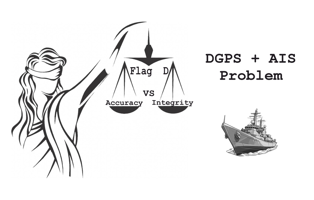
This research examines the problems of reliably determining the actual operating mode of a shipboard GNSS receiver (autonomous or differential). It outlines the risks associated with the ambiguity and unreliability of standard differential mode indicators (flags posMode = D, Fix Quality = 2). This leads to misinterpretation of the accuracy status by related navigation systems, in particular, the Automatic Identification System (AIS), and poses a threat to maritime safety.
It has been experimentally proven that outdated receiver models can falsely indicate operation in differential mode, relying solely on user settings rather than the actual receipt and application of corrections. It has been established that modern receivers solve this problem but create a new level of complexity by separating the concepts of “accuracy” and “integrity” of the navigation solution. They can produce a highly accurate position while simultaneously flagging it as unreliable (NavStatus flag = V) if a faulty satellite is detected. A systemic conflict between the requirements of the International Telecommunication Union (ITU) and International Electrotechnical Commission (IEC) standards regarding high-accuracy criteria for AIS has been identified.
It has been established that inaccurate mode indications in outdated equipment are related to the particularities of its software logic, which links the mode flag to the setting rather than to the availability of data. The behavior of modern receivers is explained by the implementation of advanced integrity control algorithms (RAIM) and the logic of new standards (in particular, IEC 61108-7), which require reporting the loss of confidence in data.
The research results can be used by developers of marine equipment (AIS, ECDIS) to create comprehensive GNSS data analysis algorithms that take into account a set of indicators. International organizations (IMO, ITU) can use them to harmonize standards. Ship operators and technical specialists can use these results to form a correct understanding of the limitations of standard indicators and the need for a comprehensive assessment of the status of the GNSS receiver.
References
- Resolution MSC.112(73): Adoption of the Revised Performance Standards for Shipborne Global Positioning System (GPS) Receiver Equipment (2000). Available at: https://wwwcdn.imo.org/localresources/en/KnowledgeCentre/IndexofIMOResolutions/MSCResolutions/MSC.112(73).pdf
- Resolution A.915(22): Revised Maritime Policy and Requirements for a Future Global Navigation Satellite System (GNSS) (2001). Available at: https://wwwcdn.imo.org/localresources/en/KnowledgeCentre/IndexofIMOResolutions/AssemblyDocuments/A.915(22).pdf
- Resolution A.1046(27): World-wide radionavigation system (2011). Available at: https://wwwcdn.imo.org/localresources/en/KnowledgeCentre/IndexofIMOResolutions/AssemblyDocuments/A.1046(27).pdf
- IHO Standards for Hydrographic Surveys (Publication S-44) (2020). Available at: https://iho.int/uploads/user/pubs/standards/s-44/S-44_Edition_6.1.0.pdf
- Tabti, L. (2025). Evaluation and Comparison of the Accuracy and Integrity of GPS Single-Point Positioning Using EGNOS Corrections. Journal of the Indian Society of Remote Sensing, 53 (8), 2577–2590. https://doi.org/10.1007/s12524-025-02168-1
- Pogurelskiy, O., Ostroumov, I., Znakovska, Y., Holubnychyi, O., Zaliskyi, M., Voliansky, R. et al. (2024). Estimation Positioning Accuracy for GPS/EGNOS Mode in Ukraine Region. 2024 IEEE 17th International Conference on Advanced Trends in Radioelectronics, Telecommunications and Computer Engineering (TCSET), 1–4. https://doi.org/10.1109/tcset64720.2024.10755700
- Specht, C., Pawelski, J., Smolarek, L., Specht, M., Dabrowski, P. (2018). Assessment of the Positioning Accuracy of DGPS and EGNOS Systems in the Bay of Gdansk using Maritime Dynamic Measurements. Journal of Navigation, 72 (3), 575–587. https://doi.org/10.1017/s0373463318000838
- RTCM 10402.3, RTCM Recommended Standards for Differential GNSS Service, Version 2.3 (2001). Available at: https://rtcm.myshopify.com/products/rtcm-10402-3-rtcm-recommended-standards-for-differential-gnss-global-navigation-satellite-systems-service-version-2-3-with-amendment-1-may-21-2010?_pos=2&_sid=64d21e781&_ss=r
- What is SBAS? (2024). European Union Agency for the Space Programme. Available at: https://www.euspa.europa.eu/eu-space-programme/egnos/what-sbas
- EGNOS Open Service (OS) Quarterly Performance Report: Quarter 4 (2023). European Union Agency for the Space Programme. Available at: https://www.gsc-europa.eu/sites/default/files/sites/all/files/Galileo-OS-Quarterly-Performance_Report-Q4-2023.pdf
- GPS Accuracy (2022). U.S. Government. Available at: https://www.gps.gov/systems/gps/performance/accuracy/
- Januszewski, J. (2014). Nominal and Real Accuracy of the GPS Position Indicated by Different Maritime Receivers in Different Modes. TransNav, the International Journal on Marine Navigation and Safety of Sea Transportation, 8 (1), 11–19. https://doi.org/10.12716/1001.08.01.01
- Specht, C. (2022). Maritime DGPS System Positioning Accuracy as a Function of the HDOP in the Context of Hydrographic Survey Performance. Remote Sensing, 15 (1), 10. https://doi.org/10.3390/rs15010010
- Alissa, S., HÁkansson, M., Henkel, P., Mittmann, U., Huffmeier, J., Rylander, R. (2021). Low Bandwidth Network-RTK Correction Dissemination for High Accuracy Maritime Navigation. TransNav, the International Journal on Marine Navigation and Safety of Sea Transportation, 15 (1), 171–179. https://doi.org/10.12716/1001.15.01.17
- IEC 61108-1: 2003 Maritime navigation and radiocommunication equipment and systems – Global navigation satellite systems (GNSS) – Part 1: Global positioning system (GPS) – Receiver equipment – Performance standards, methods of testing and required test results (2003). IEC. Available at: https://webstore.iec.ch/en/publication/4515
- User Manual SPR/DSPR-1400. Samyung ENC. Available at: https://www.samyungenc.com/eng/view.do?no=148&bunryuSeq=25&prdSeq=109&pageIndex=1&pgMode=show
- IEC 61162-1:2024 Maritime navigation and radiocommunication equipment and systems – Digital interfaces – Part 1: Single talker and multiple listeners (2024). IEC. Available at: https://webstore.iec.ch/en/publication/72729
- IEC 61108-7:2024 Maritime navigation and radiocommunication equipment and systems – Global navigation satellite systems (GNSS) – Part 7: Shipborne SBAS receiver L1 – Performance requirements, methods of testing and required test results (2024). IEC. Available at: https://webstore.iec.ch/en/publication/68696
- Tegedor, J., Fortuny, J., Fernandez, G., Lacarra, E., Canestri, E., Porfili, S., Gioia, C. (2025). IEC-61108-7 SBAS Standard for Shipborne Receivers: Preliminary Testing Validation Activities. European Navigation Conference 2024, 48. https://doi.org/10.3390/engproc2025088048
- NEO-F10N Data sheet. Available at: https://content.u-blox.com/sites/default/files/documents/NEO-F10N_DataSheet_UBX-23002117.pdf
- u-blox F10/M10 SPG 5.10 (2023). Interface Description. Available at: https://content.u-blox.com/sites/default/files/u-blox-M10-SPG-5.10_InterfaceDescription_UBX-21035062.pdf
- GnssToolKit3-binaries. GitHub. Available at: https://github.com/zxcwhale/GnssToolKit3-binaries
- ZED-F9P-04B (2024). Data sheet. Available at: https://content.u-blox.com/sites/default/files/ZED-F9P-04B_DataSheet_UBX-21044850.pdf
- Recommendation M.1371-5 (02/2014): Technical characteristics for an automatic identification system using time-division multiple access in the VHF maritime mobile frequency band (2014). Available at: https://www.itu.int/dms_pubrec/itu-r/rec/m/R-REC-M.1371-5-201402-I!!PDF-E.pdf
- IEC 61993-2:2018: Maritime navigation and radiocommunication equipment and systems – Automatic identification systems (AIS) – Part 2: Class A shipborne equipment of the automatic identification system (AIS) – Operational and performance requirements, methods of test and required test results (2018). IEC. Available at: https://webstore.iec.ch/en/publication/34277
Downloads
Published
How to Cite
Issue
Section
License
Copyright (c) 2025 Vasyl Hlynianiuk, Viktor Konovets, Vitalii Kuzmenko, Eduard Pleshko, Roman Rudenskyi, Oleksandr Shyshkin

This work is licensed under a Creative Commons Attribution 4.0 International License.
The consolidation and conditions for the transfer of copyright (identification of authorship) is carried out in the License Agreement. In particular, the authors reserve the right to the authorship of their manuscript and transfer the first publication of this work to the journal under the terms of the Creative Commons CC BY license. At the same time, they have the right to conclude on their own additional agreements concerning the non-exclusive distribution of the work in the form in which it was published by this journal, but provided that the link to the first publication of the article in this journal is preserved.


